Humanitarian OpenStreetMap: mapping the future of crisis response
1: Humanitarian OpenStreetMap Team2: OpenStreetMap3: HOT, the crowd & Open geo data: Crisis response & disaster prepardness4: Looking forward
But first, me
Humanitarian OpenStreetMap Team applies the principles of open source and open data sharing for humanitarian response and economic developmenthot.openstreetmap.org
HOT is:A membership led organisationRegistered as a US not-for-profitActive across the globe in both funded and unfunded projectsEmpowered by thousands of volunteers
(put briefly)We provide maps for first responders and humanitarian workers
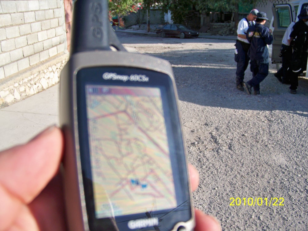
We do have people physically on the ground,We do undertake paid projects,but...
We can only do our work with the support of volunteers contributing remotely
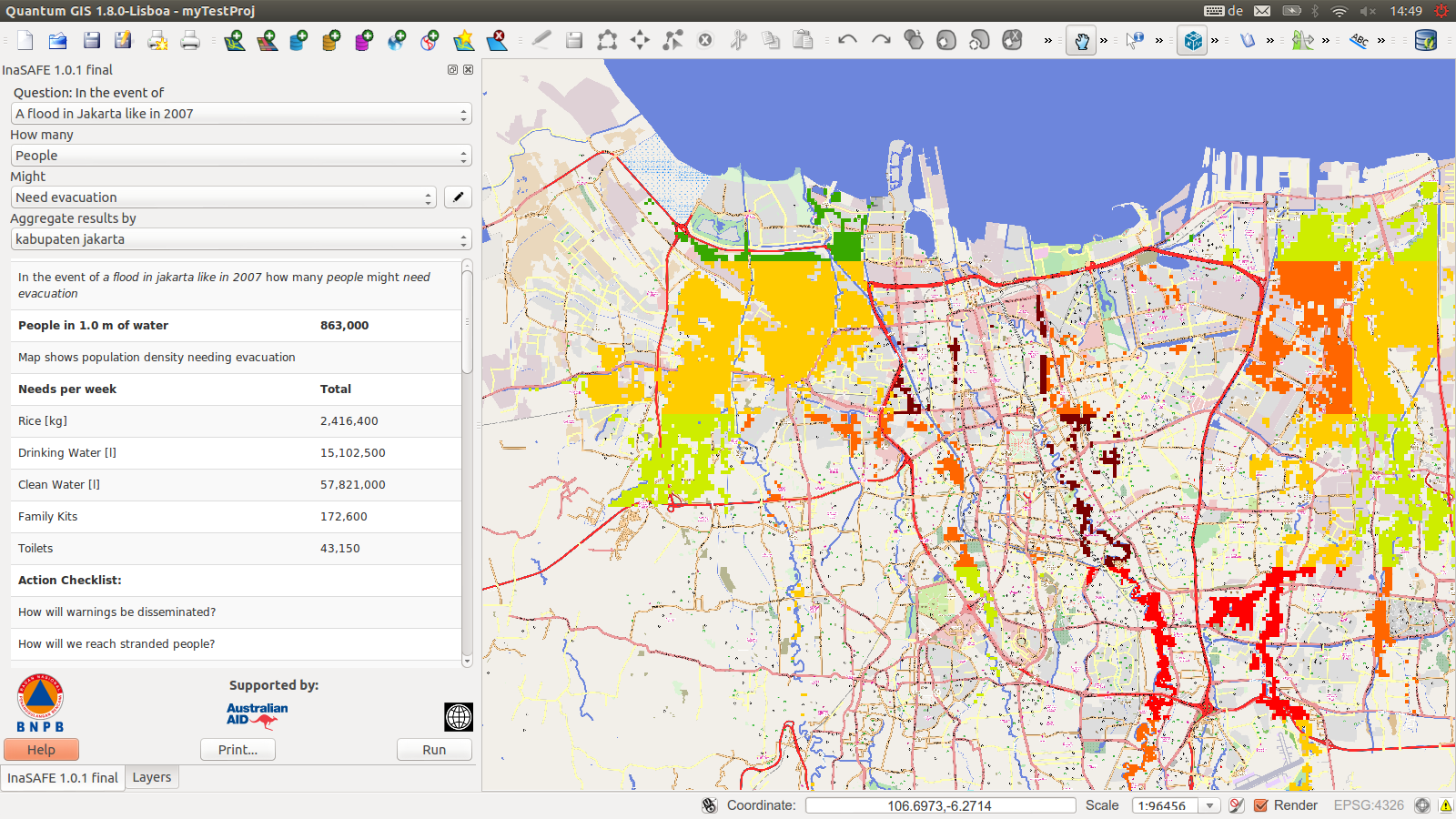
2009 Philippines Tropical storm Ondoy2010 Haiti Earthquake2011 Horn of Africa famine2012 Indonesia Risk modelling2012 USA Hurricane Sandy2013 Syria Humanitarian crisis2013 Philipines Typhoon Haiyan2014 West Africa Ebola Response
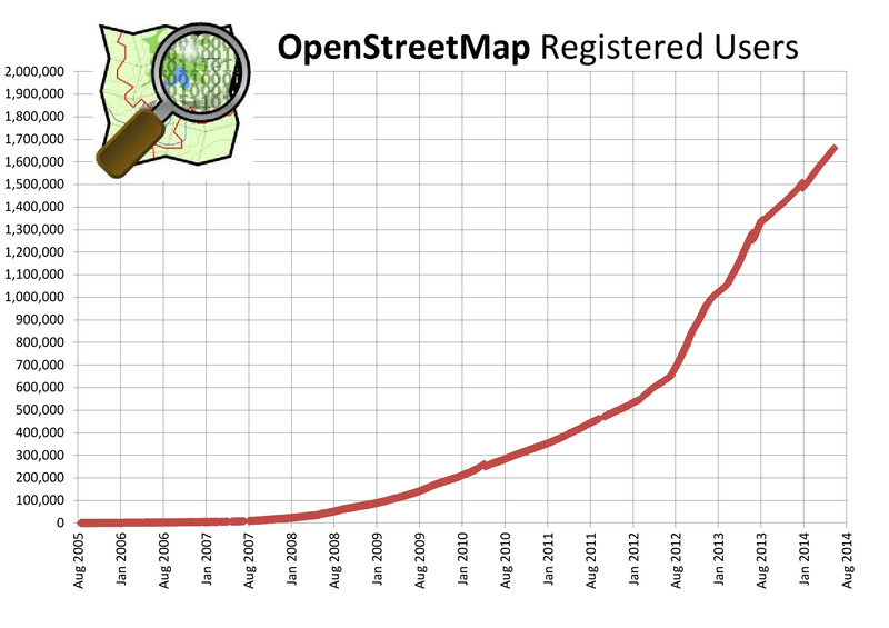
We're growing
MapGivemapgive.state.govPart of the Imagery to the Crowd initiative from the U.S. Department of State's Humanintarian Information Unit
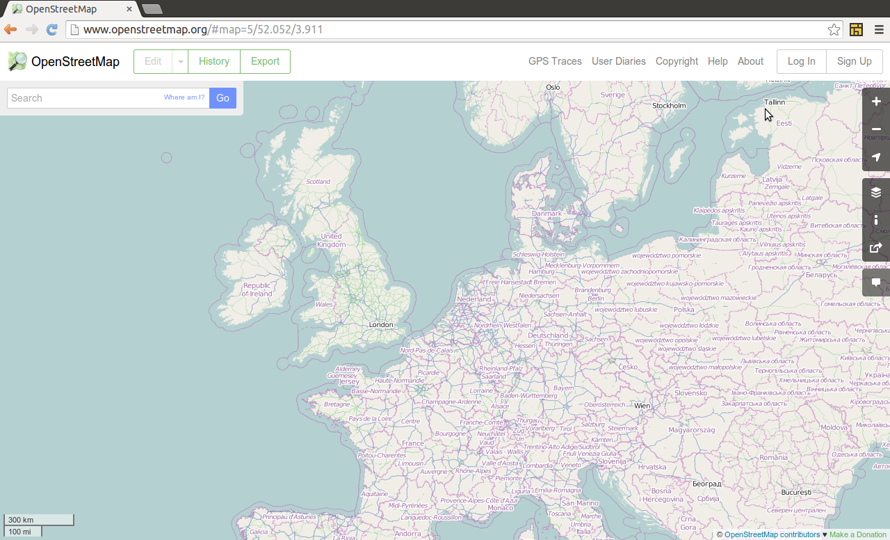
OpenStreetMap
"Wikipedia + GPS"or"Google Maps that anyone can edit & download"
A collaberative map of the world: A database of real life things(that's not really like Wikipedia or GMaps at all)
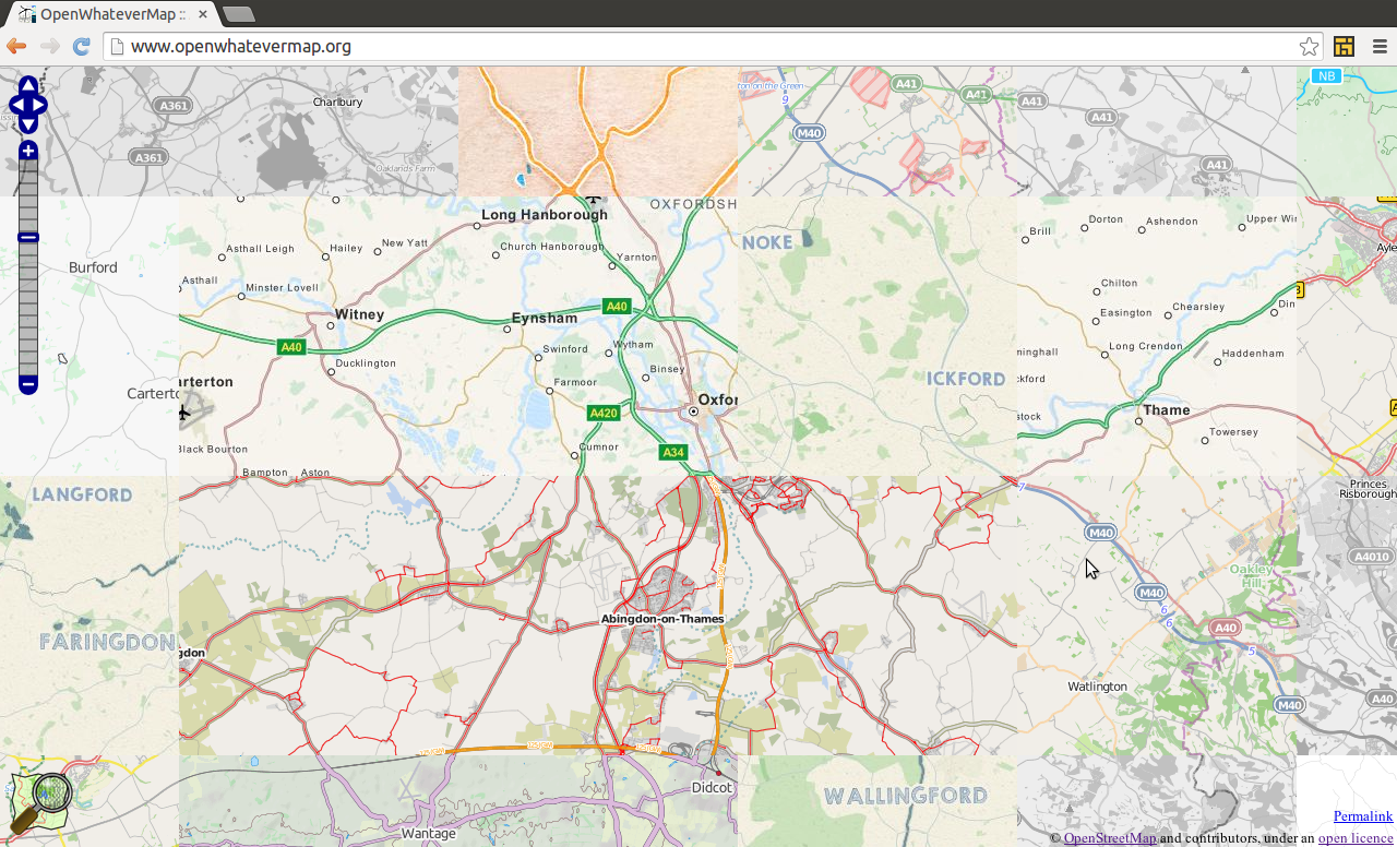
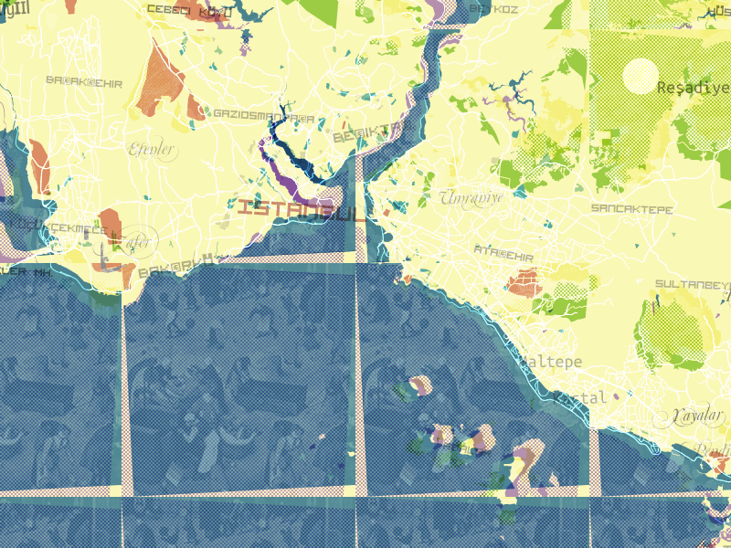
Experts / consumers: Inputs / outputs
Some users of OpenStreetMap:foursquarePintrestFlickrcycle.travelLe MondeEvernoteFinancial TimesNational Park ServiceGitHubNestoriaCraigslistThe LA TimesThe Washington Post
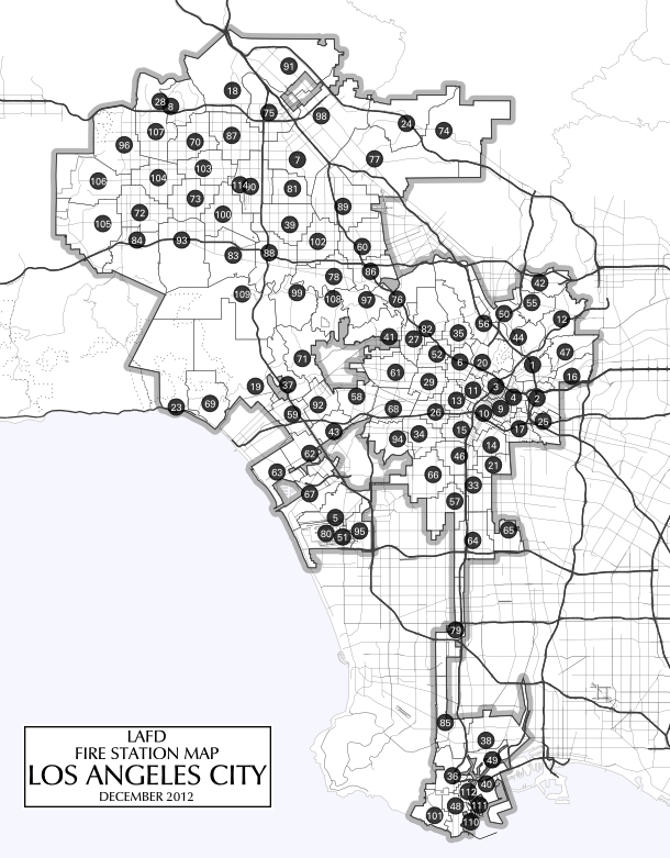
LA Times:
HOT, OSM & the crowd
Inputs / outputs
We have people that deal with the outputs
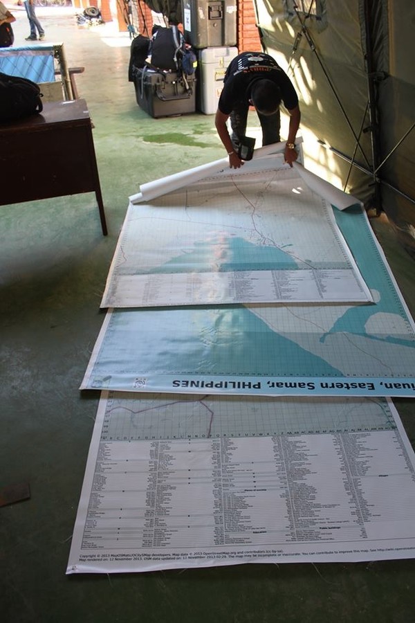
Tacloban airport:
Managing the inputs is largely about communication, documentation & task creation
Blog posts, mailing lists, social media, the OSM wiki
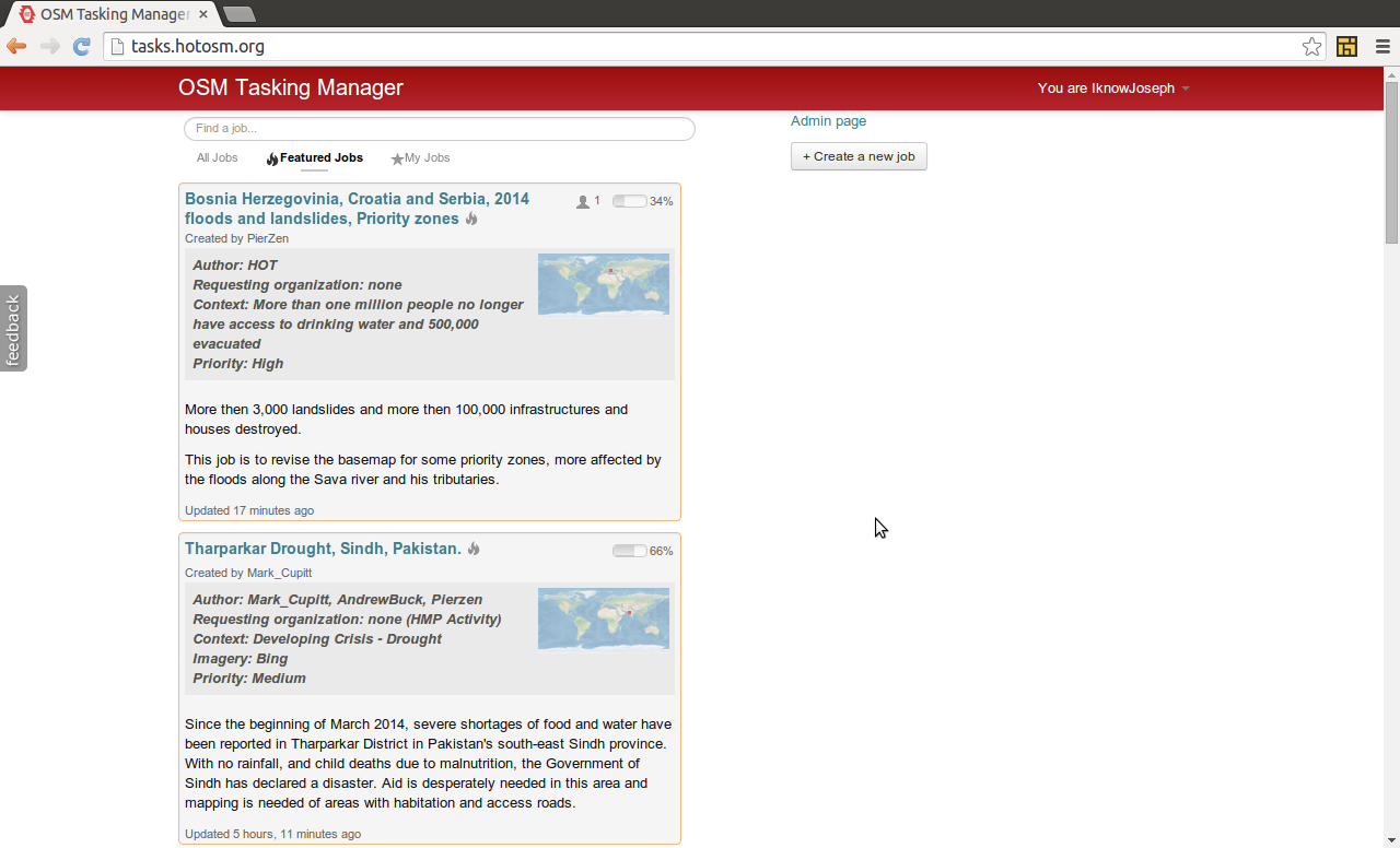
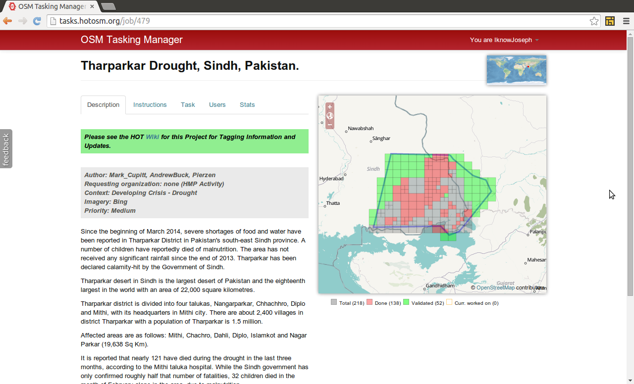
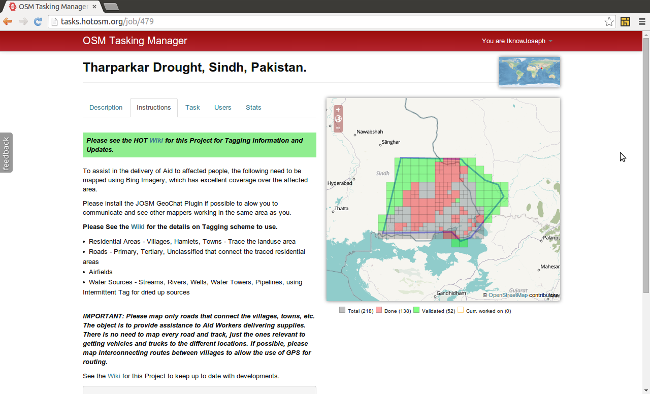
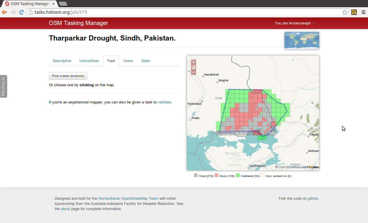
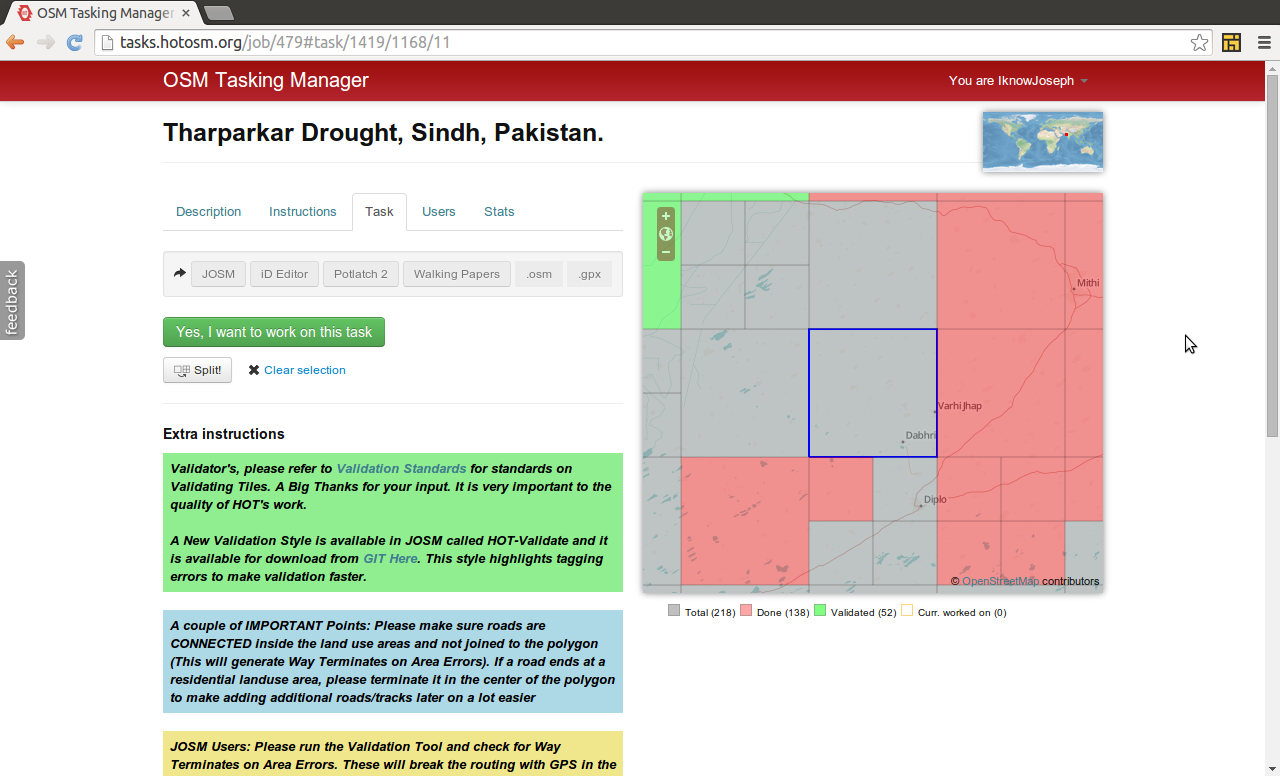
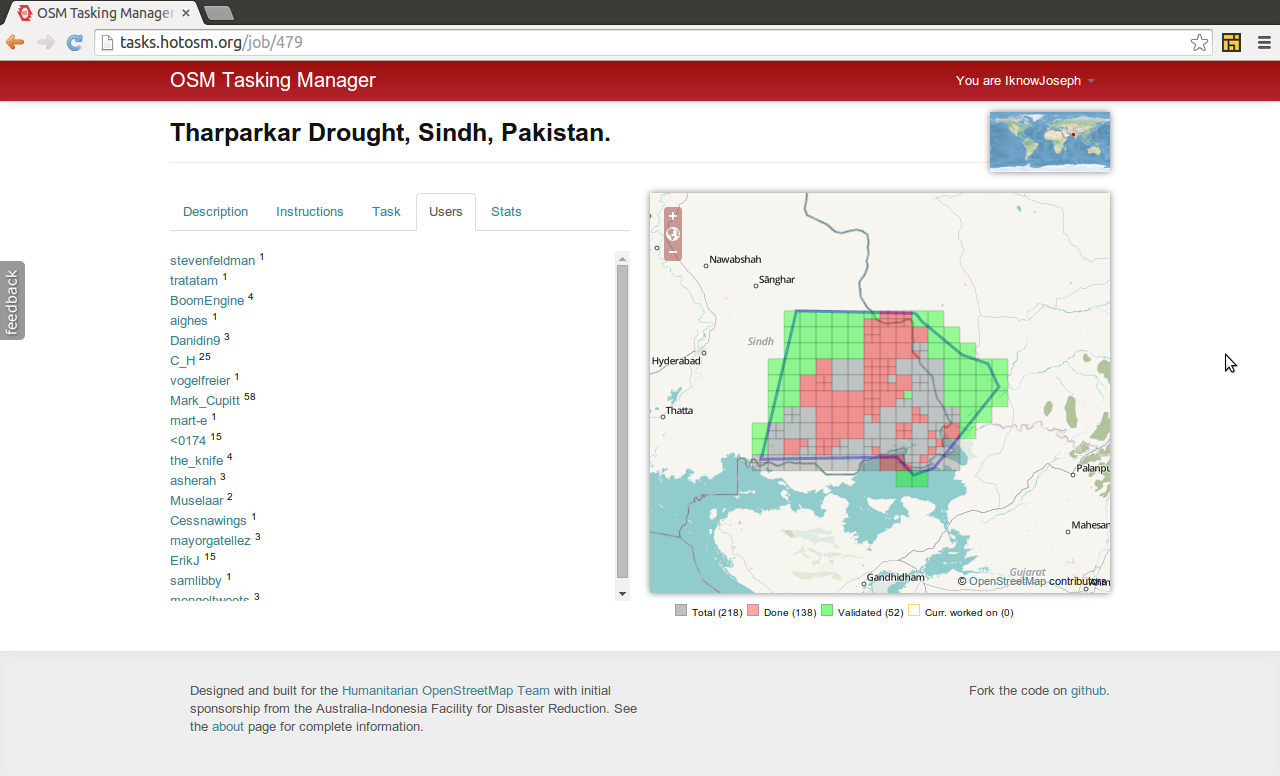
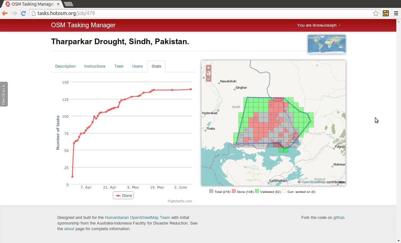
Managing mapping taskstasks.hotosm.org
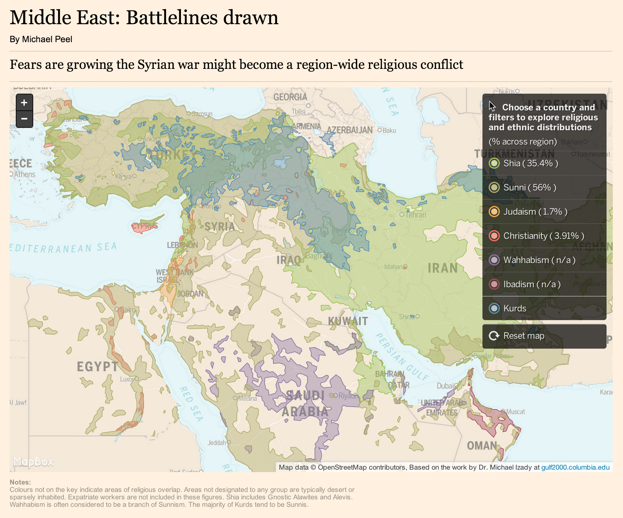
Support from partners: Imagery, data exports, map renderings, publicity
Case studies:West Africa Ebola Crisis,Typhoon Haiyan
2014 Ebola Crisis:March 24th: Médecins Sans Frontières (MSF) Switzerland + CartONG request maps of affected areasMarch 25th: HOT blog post requested volunteers map three towns in Guinea. Imagery purchased by CartONG, aquired from Pléiades 1A. Most mapping complete in 12 hoursMarch 31st: Mapbox reports 200 mappers contributed 100,000 buildings + hundreds of miles of roadApril 11th: We're written up in New ScientistApril 15th: 363 contributors, 1.65 million objects, 150,000 buildings. Additional imagery donated by Mapbox / Digital Globe & Airbus Defence and Space. Activation now covers 3 countries
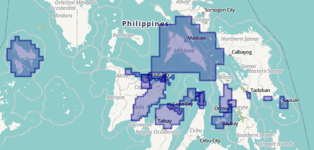
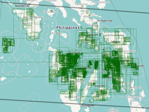
2013: Typhoon Haiyan / Yolanda:November 6th: First indentified on email as an upcomming priority. Asked volunteers to map TaclobanNovember 8th: Yolanda makes landfall as the strongest ever storm to do soNovember 10th: HOT partners with UN OCHA, the American Red Cross & the US State Dept Humanitarian Information UnitNovember 13th: Post disaster imagery of Tacolban made availableNovember 15th: 800+ contributors, 2 million+ changes to the map, 250,000+ buildings mappedNovember 16th: Contributors now 1000+November 24th: 1500+ contributors have edited 4.5 million+ OSM objects
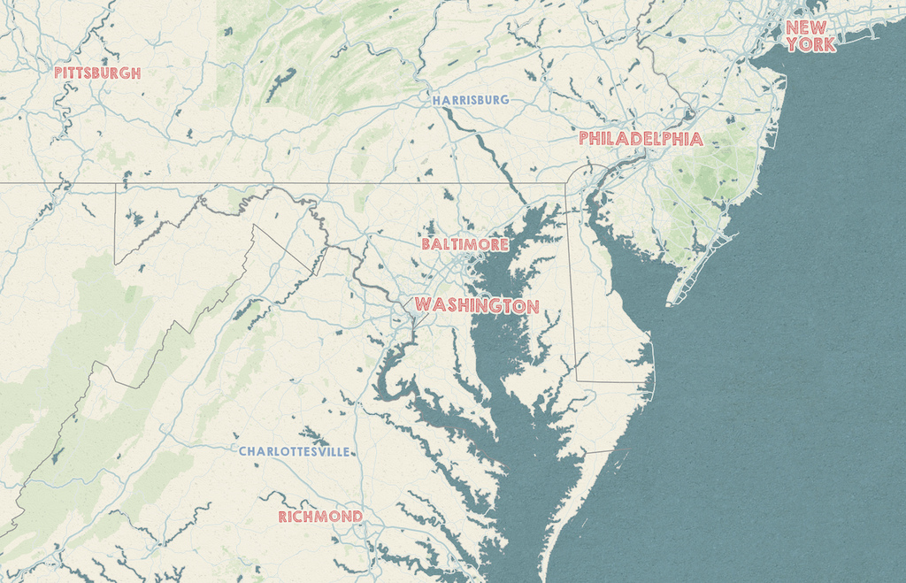
Mapping parties:Quebec, Cordoba, Kathmandu, Heidelberg, Seville, London, University of Philipines, Valencia, Zagreb, Graz, Washington DC, Managua, Tokyo, Vermont, Heidelberg, Nairobi, Paris, Kapala
Moving forward
Microtasks: More people spending less time
More people doing less concious mapping
Recaptcha: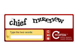

Remaptcha:
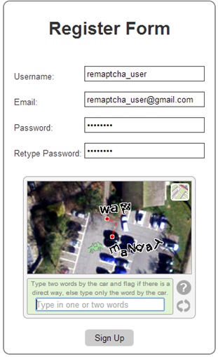
sorry...

Non mapping tasks: Legal assistance, Health & Safety, communications & the press, software development, funding
Summing up HOT & the crowd:
Thanks for listening